Our Services
Aerial inspection and imaging from an FAA Part 107 certified, veteran-owned team. Every report is reviewed by a licensed adjuster in 15 states.
From a single roof claim to recurring site documentation, every flight is planned, flown, and reported with the precision our clients expect. We use the latest AI software to find damage faster and measure more accurately.
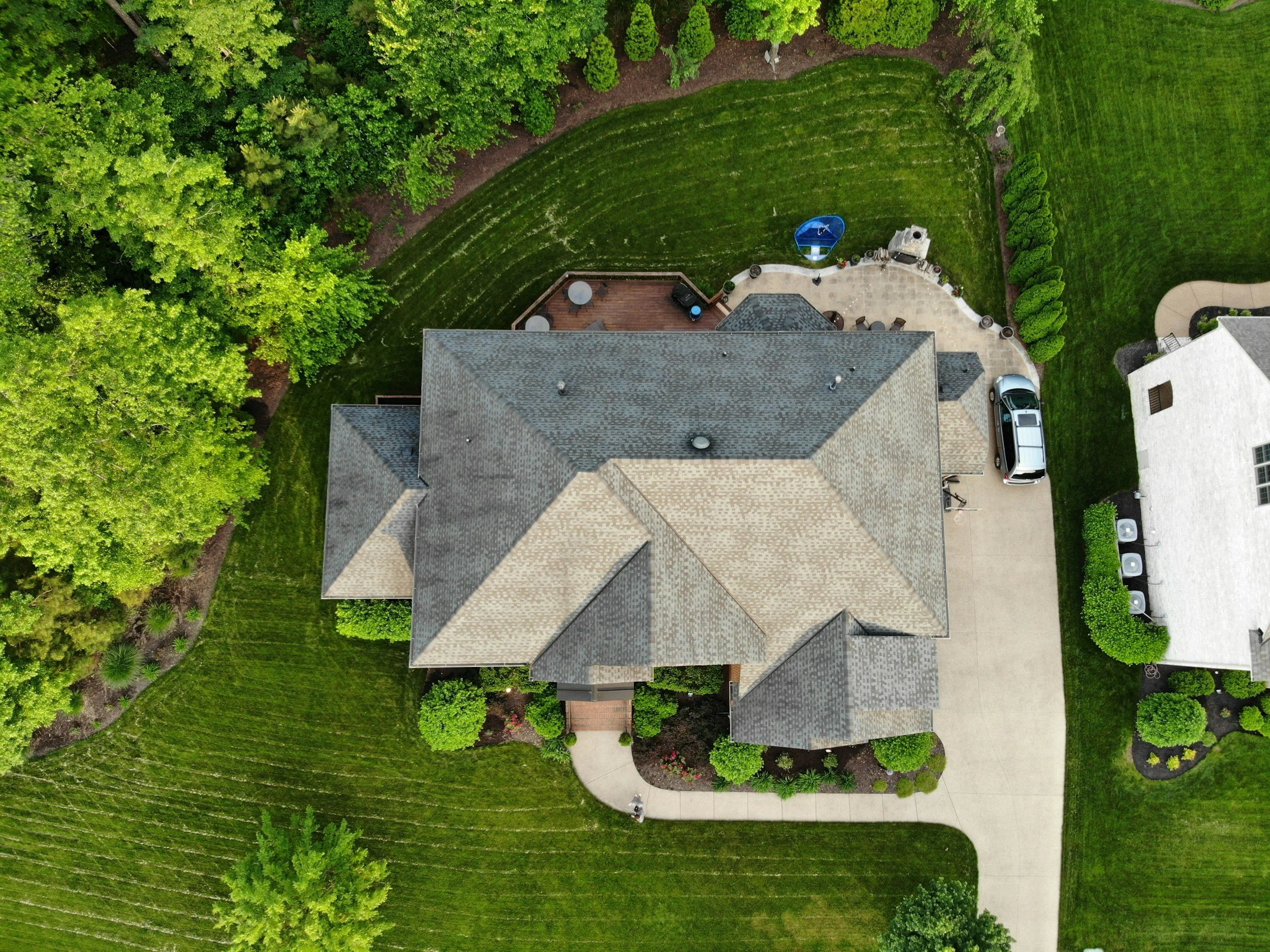
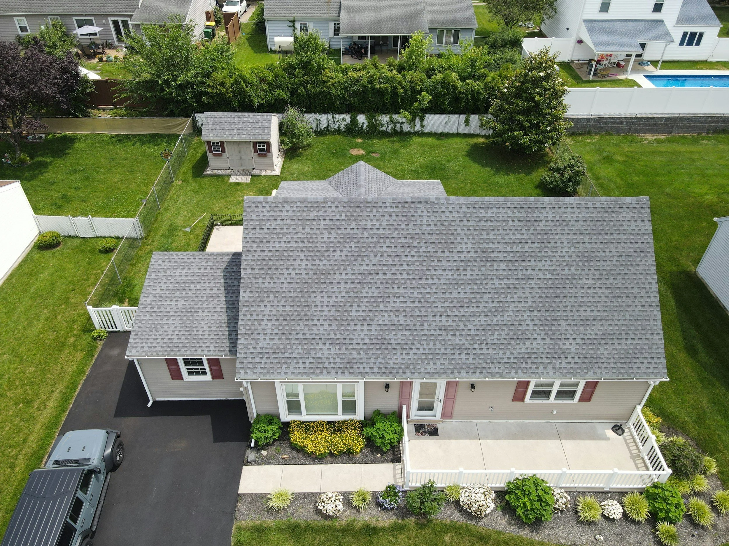
Insurance & Roof Inspections
Claim-ready roof and property inspections for carriers, independent adjusters, roofing contractors, and homeowners. You get high-resolution photo documentation, damage identification, and roof measurements, with no ladders or roof walking. Reports are built by a licensed adjuster who knows what carriers need.
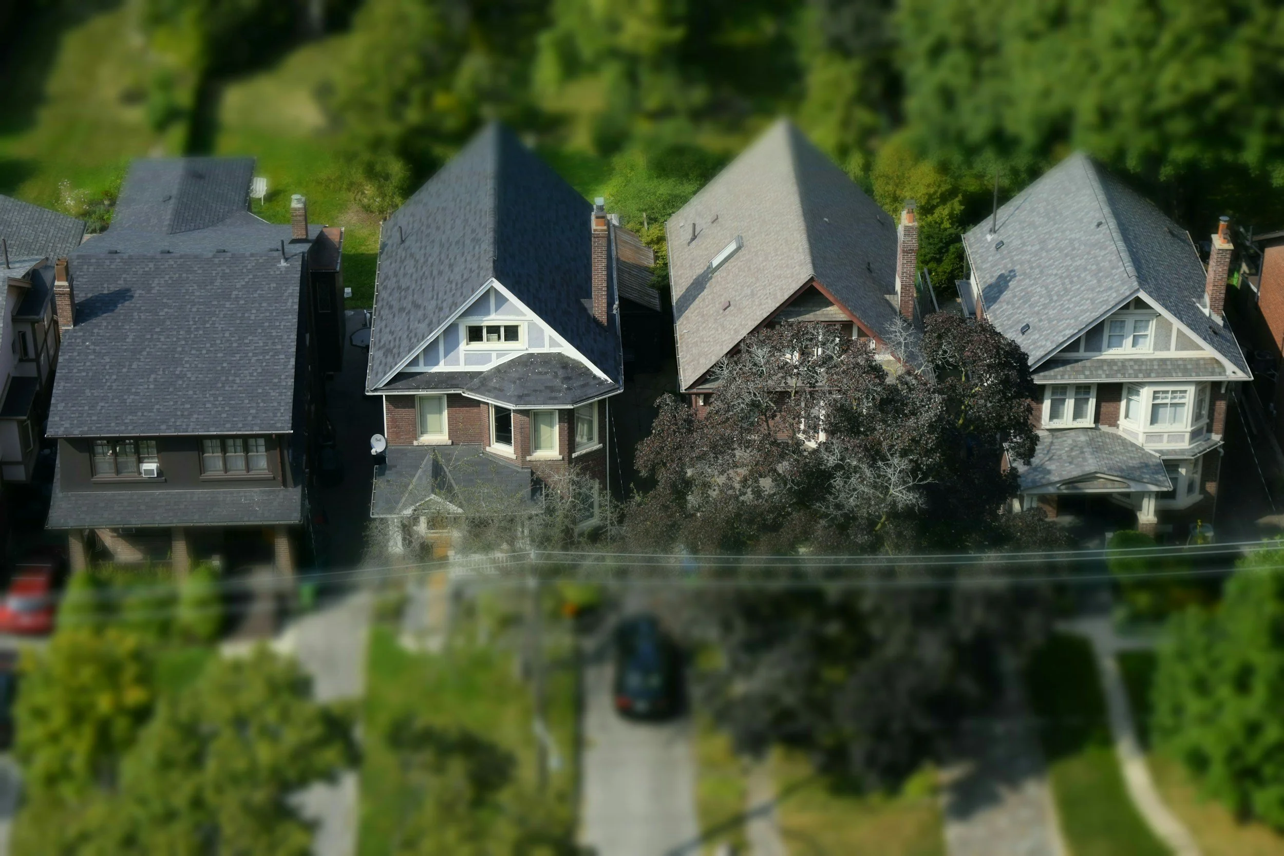
Aerial Photography
Sharp, professional stills for real estate listings, commercial properties, developments, and marketing.
Aerial Videography
Smooth, cinematic video for property tours, promotional content, events, and project storytelling.
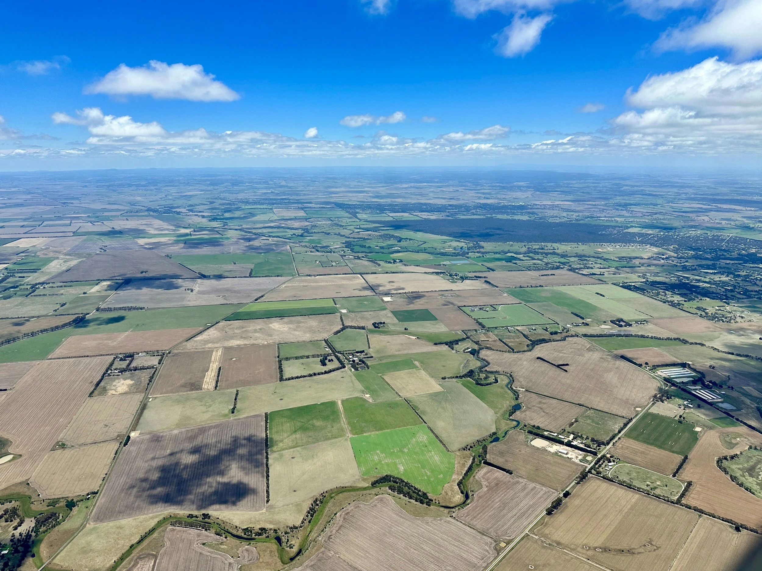
Mapping & Surveying
Orthomosaic maps, 3D site models, and volume and area measurements for planning, land development, and construction. Aerial data supports, and doesn't replace, a licensed land survey.
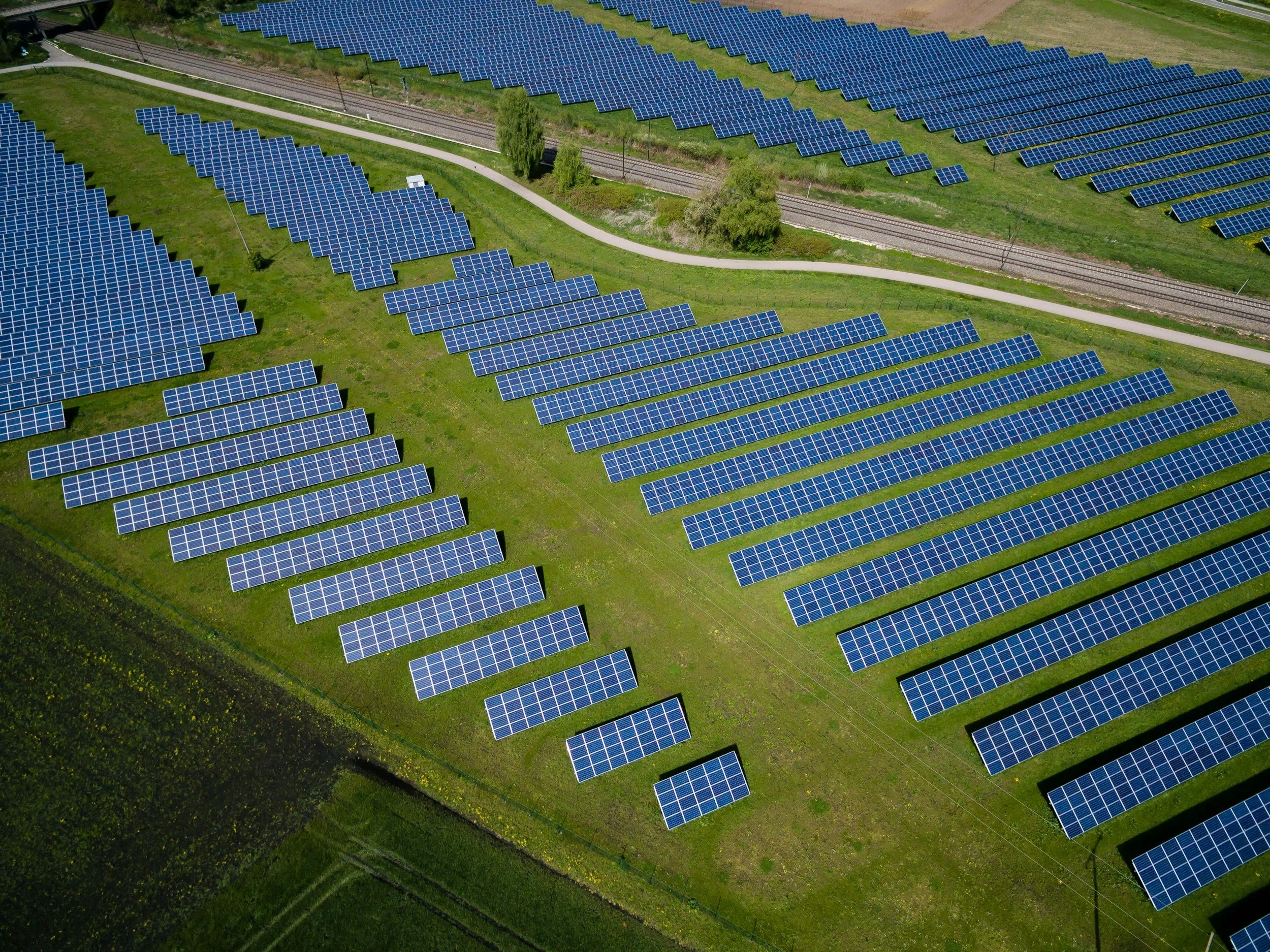
Utility, Solar & Cell Tower Inspections
Close-up visual inspections of power lines, solar arrays, and cellular towers. They reduce climbing, risk, and downtime, and the documentation is clear.
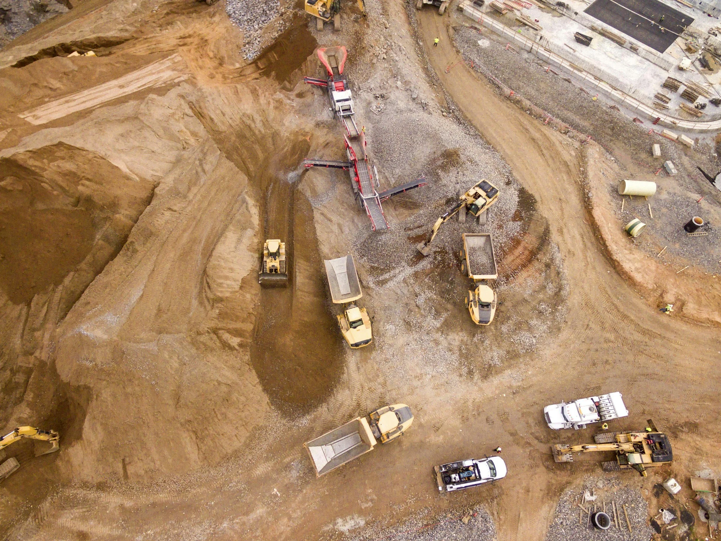
Construction Progress Documentation
Scheduled flights give owners, lenders, and project managers a consistent visual record from groundbreaking to completion.
Roofing companies | Insurance carriers & adjusters | Construction firms | Real estate developers | Solar companies | Government agencies
Ready to Get Started?
Tell us about your property or project and we'll get back to you quickly.